Distance: 8 km | Time: 3 hours | Moderate Walk
A pleasant mix of rural footpaths and a refreshing coastal walk takes you from the impressive Church of St Thomas at Redwick to Porton and back via a section of the Wales Coast Path.
OS Map: Explorer 152 - BUY
Details
Route Description
**Start at St Thomas' Church, Redwick. ** (Grid Ref: ST 412841)
- From the church gates, follow path through church yard to small paddock at rear of church to roadside stile.
- Turn left onto South Row and after short distance look for finger post on right.
- Follow footpath through field gate and continue along field path towards sea wall.
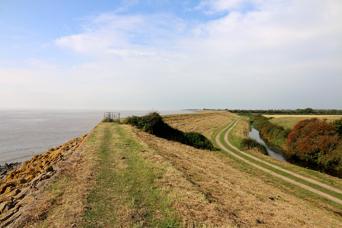
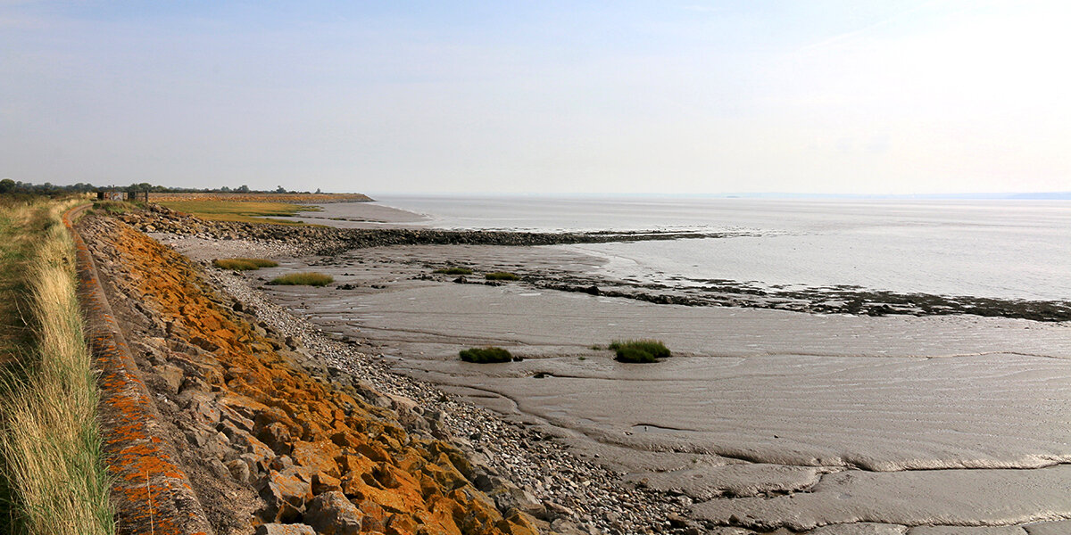
- Walk up onto sea wall, turn right and follow the Wales Coast Path towards Porton House. Along the sea wall, look out for curlew, oystercatcher and shelduck feeding along the shoreline. Lines of wooden stakes, visible at low tide, are the remains of fishtraps.
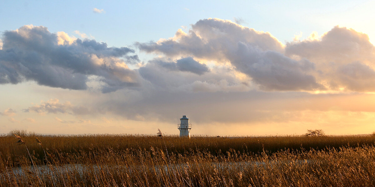
- After Porton House, leave the WCP and head inland across a series of footbridges until reaching a stile leading you on to Porton Road.
- You are now in Porton. Follow road to the right for around 70 metres then join Hare’s Lane (green lane) on the left. Continue along the lane for approximately 100 metres.
- Join footpath on the right and follow waymarked path over a series of footbridges towards Llanwern pipeline.
- Cross pipeline steel footbridge and continue along the footpath as it zigzags across fields and footbridges reaching a roadside stile.
- Turn left onto Mead Lane (rough track) and follow back towards Redwick. At the first road junction go straight ahead on Bryn Road for about 150 metres and join the footpath on the right through the churchyard to finish.
Walk Highlights
Redwick village
Redwick probably originated in the late eleventh/twelfth century and is the best preserved medieval village on the Levels. The name 'Redwick' translates as 'farm, or dairy, in the marshes'.
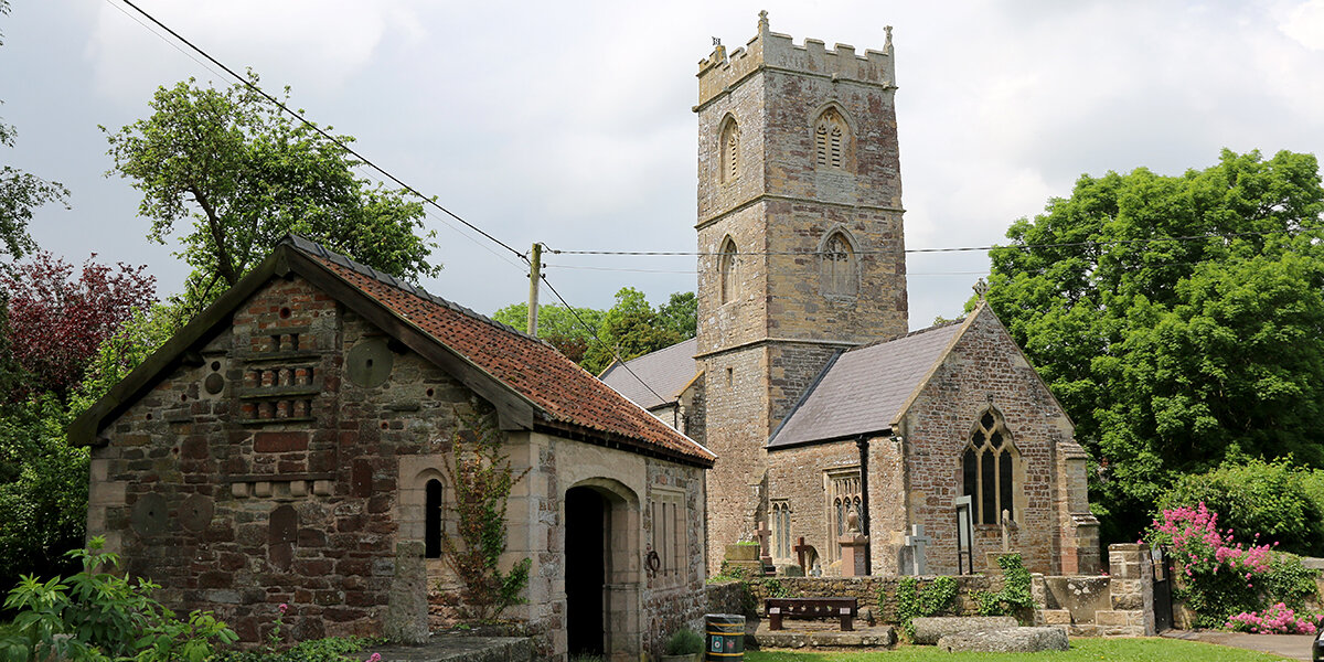
The ornate 'Cider Press' building near the church has a display featuring a range of Commissioners of Sewers notices relating to the drainage system, some stones that were placed along reens to mark the stretches which individual tenants were responsible for maintaining, a cider mill and a cider press. The building was designed and constructed by Mr Hubert Jones, a local resident, in 1973. He received a special award from the Prince of Wales in 1979.
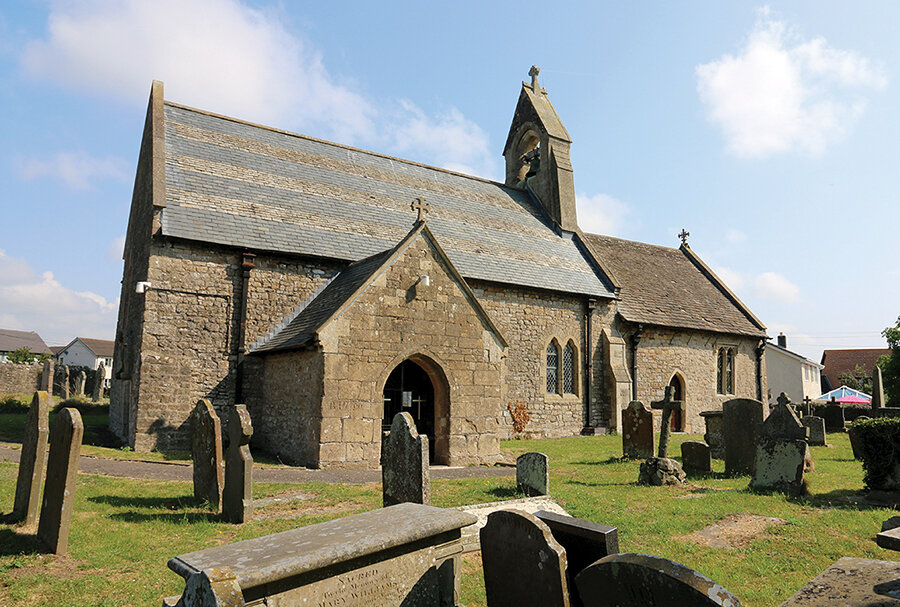
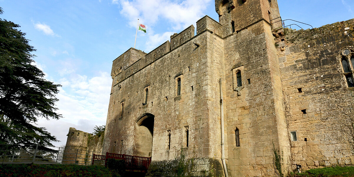
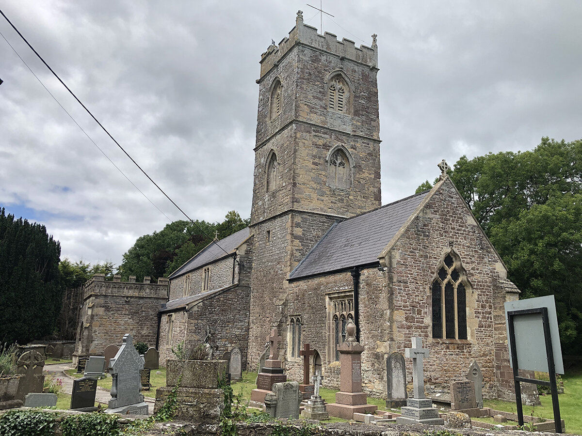
Church of St Thomas the Apostle, Redwick
The ancient church of St. Thomas the Apostle is unusually large for a parish church on the Caldicot and Wentloog Levels. The church has a full-immersion baptistry, unique medieval stone carvings and a fine Victorian pipe organ salvaged from two previous churches.
On the ancient south porch is a mark indicating the flood level caused by the Bristol Channel flood, 1607.
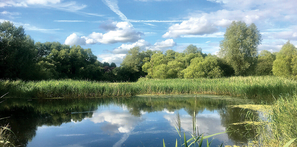
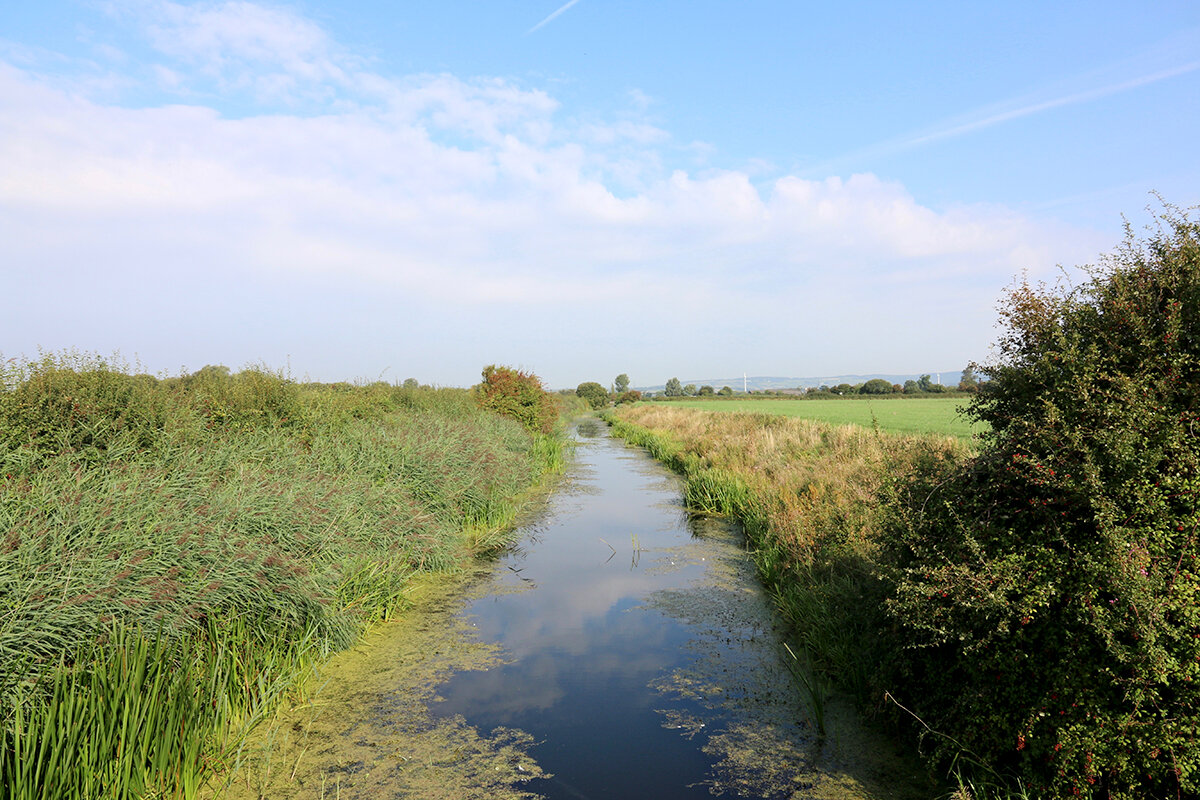
Windmill Reen
Windmill Reen is one of the main drainage ditches on the Levels and was probably constructed sometime in the fifteenth century.
The banks of the reen are well vegetated, and it is a good place to look for dragonflies, herons, kingfishers and other wildlife.
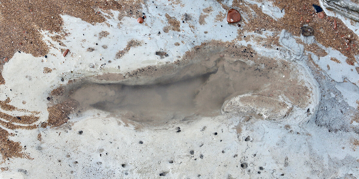
Sea Wall
The sea wall was extensively rebuilt in the 1950s and '60s with a stone rubble face and a concrete wave return wall on top. It cuts across the older field layout, creating odd shaped triangular fields. The original medieval sea wall was much further out in the estuary.
Porton
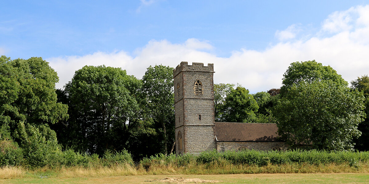
Porton is first recorded in the mid thirteenth century on land held by Goldcliff Priory. The hamlet today consists of a collection of seventeenth and eighteenth century buildings.
There is a local legend that the original village was much closer to the sea and has since been eroded away; some claim the ghostly bells of Whitson church can still be heard on stormy nights.
Parking
There is limited parking next to Redwick Church
Dog policy
Dogs are allowed but must be kept under control at all times.
Facilities
The Rose Inn, Redwick (Website)
Accessibility
Many stiles and narrow footbridges to cross. Fields can be very muddy throughout winter.
Downloads
▶ Download walking route leaflet (PDF 3.1MB)
Always follow the Countryside Code.
- Consider the local community and other people enjoying the outdoors
- Park carefully so gateways and driveways are clear
- Leave gates and property as you find them
- Follow paths but give way to others where it’s narrow
- Leave no trace of your visit, take all your litter home
- Don’t have BBQs or fires
- Keep your dog under effective control and pick up after your pet – dog mess can harm livestock
- Plan ahead, check what facilities are open, be prepared
- Follow advice and local signs
Navigating routes using GPX files
Many smartphones and tablets are GPS-enabled. Using a navigational app, such as the OSMaps or ViewRanger apps, you can use a GPX files to follow a route.
- Install your chosen navigational app before setting out on your walk.
- Download the GPX file from the route page.
- Import the file into your app. How this is done depends on the app you are using.
Please be aware that using your phone's GPS can drain the battery. It is recommended that you carry a paper map as a backup.
Route Map
Click to enlarge.