A Unique History

We find faulty and do order Ellen Reen to be reaped and scowred beginning at Blackmoor Gout containing 495 perches done John Grpsham Howe Esq., worth the doing one pound 4 pence.
extract from a presentment from the 1690-1710 Court of Sewers Minutes
The Gwent Levels, as we know it today, was largely created in the Middle Ages by the monks of Goldcliff Priory and Tintern Abbey, but its story goes back much, much further.
Britain c. 27,000 BP (Wikipedia)
Prehistoric Levels
The history of the Gwent Levels begins with the formation of the Severn Estuary after the last period of glaciation, which reached its height about 27,000 years ago.
During this time, massive ice sheets, up to 1km thick, covered Scotland, Ireland, northern England and most of Wales, extending as far south as Cardiff. Sea levels were about 135m lower than today and the area now occupied by the Bristol Channel and the Severn Estuary was an icy valley stretching far out into the Celtic Sea.
Between 13,000 and 9000 years ago the climate rapidly warmed and the melting glaciers retreated northward, releasing huge quantities of water. Sea levels began to rise and gradually, over many centuries, the coastline advanced eastwards, flooding the valley and forming the Bristol Channel and the Severn Estuary.
By 6000BC, the coastline had reached close to its current position. Around the low-lying margin of the estuary formed an extensive wetland, a vast watery wilderness of tidal mud flats, creeks, saltmarsh, peat bogs, reed swamps and wet woodland, home to wild boar, cranes, red deer, otters, wolves, and aurochs, the fearsome ancestors of modern cattle.
8000 year-old footprint, Goldcliff (Chris Harris)
Around 8000 years ago, during the Mesolithic or middle Stone Age, small groups of humans began to exploit the area. Archaeological evidence from along the coast, including footprints preserved in the estuary mud, shows nomadic hunter-gatherers visiting the Levels during the summer to camp, hunt, fish and gather resources, before retreating to higher, drier ground during the wet winter months.
Later, during the Neolithic, Bronze and Iron Ages, there is evidence of more settled activities, including the building of more permanent structures, small settlements and trackways, although occupation of the Levels was still probably restricted to the drier summer months. The discovery of a number of prehistoric boats shows that these ancient people were probably navigating around the otherwise inaccessible Levels using a network of tidal creeks and streams.
Roman occupation
The exploitation of the Levels changed with the arrival of the Romans in the 1st Century AD.
The coastal marshes were now subject to a highly organised attempt to ‘reclaim’ the land, through the construction of embankments, drains and sluices. Such enclosed marshes were easier to manage and cultivate, could be permanently settled, and were therefore much more valuable than their natural predecessors.
Following the departure of the Romans in the 5th century, Britain entered the Dark Ages, a time of warring petty kingdoms. The Levels were largely abandoned, the drainage system failed, and the land reverted back to wild wetland. Much of the Roman Levels landscape now lies buried under layers of alluvium deposited by centuries of invading tides and floods.
Medieval Levels
It was not until the arrival of the Normans 600 years later that another concerted attempt was made to tame the Levels.
In 1113, the Norman Lord of Caerleon granted land at Goldcliff to the Benedictine Abbey of Bec-Hellouin, near Rouen in France, for the founding of Goldcliff priory. The priory was built on an area of high ground at the coast, and initially included around 200 acres of ‘moorland’ between Goldcliff and Nash.
To improve the land, the monks repaired and extended the Roman network of sea defences and ditches, forming the pattern of reed-fringed reens, small fields and winding lanes that can still be seen on many parts of the Levels today.
Other parts of the Levels were controlled by Tintern Abbey, which had two granges (monastic farms) at Lower Grange and Grangefield, and the Bishops of Llandaf, who owned land at Mathern and Bishton (‘Bishop’s Town’).
Reconstruction of Goldcliff Priory (Living Levels/Dextra Visual)
Dissolution and the Act of Sewers
In 1541, Henry VIII’s dissolution of the monasteries ended 400 years of monastic control of the Levels, and their lands passed to various prominent families, such as the Morgans and the Kemeys.
Recognising the value of floodplain grasslands, in 1531 Henry passed “The Act of Sewers”, creating Commissioners and Courts of Sewers to oversee the maintenance of sea walls and drainage ditches. The Commissioners, appointed from local landowners and powerful families, had the power to raise taxes to pay for works and issue fines to compel landowners and tenants to carry out maintenance works.
The Court operated up until 1942, when it was replaced by the Caldicot and Wentlooge Internal Drainage Board (CWIDB). In 2015, responsibility for the management of the Levels passed to Natural Resources Wales.
The survival of the Levels landscape has depended on the successful management of the drainage system over many centuries. The legal framework that grew to ensure the maintenance of this network is of itself, a fascinating part of the Levels’ story, as is the distinctive and unique Levels Lingo that it spawned.
Enclosure
A prominent feature of the medieval landscape was the number of commons, areas of land on which local communities enjoyed ‘commoner’s rights’, to grow crops or graze animals. These took the form of ‘strip commons’ along roads and lanes, for the grazing of animals on the way to market, and larger blocks of common land, usually on the wetter, lower-lying, inland areas of the Levels, known as the ‘back-fen’.
Commons were seen as inefficient by landowners and gradually they were enclosed by Acts of Parliament, starting in the late 18th century and ending with the enclosure of Caldicot Moor in 1858. It is easy to pick out these old commons on modern maps and aerial photographs; whereas medieval fields are small and irregular in size and shape, the fields created during the enclosure of the commons are larger and more regular.
The sea wall
High spring tide, Goldcliff. The Severn Estuary has some of the highest tides in the World. Without the sea wall, the Levels, as we know it, could not exist (Chris Harris)
The other prominent feature of the Levels, other than the reens, is the sea wall. This originated in the Roman period, when it was probably a series of low embankments, rather than one continuous feature. As sea levels during this period were about 1.5m lower than today, the Roman sea defences were probably several hundred metres further out in the estuary.
During the Medieval period, the monks of Goldcliff rebuilt the wall as a much more substantial structure. Over the succeeding centuries, the wall has been moved many times, as the sea has continued to erode the coastline, occasionally breaching the sea defences, as during the catastrophic 1607 Great flood. Evidence for the movement of the wall can be found in contemporary documents and in the many odd-shaped triangular fields along the coast; the sea wall cuts across the grain of the earlier landscape in much the same way as a motorway or railway slices through fields.
The current line of the seawall dates from the late medieval period, although the wall itself was substantially raised and strengthened in the mid-20th century. Long sections of the modern wall are faced with large stone blocks and topped with a concrete wave-return wall, although some sections of simpler earthen banks remain. At least two sections of late-medieval sea wall survive at Rumney Great Wharf and Collister Pill.
An enduring landscape
The Levels landscape, as created by the medieval monastic orders, has largely endured for many centuries.
Historical accounts reveal the many human stories of the very hard and physical struggle that it has taken to maintain this unique landscape over many centuries. Much of the Levels were drained and maintained using basic hand tools until as late as the 1960s. The survival of historic maps such as the 1830s Commissioners of Sewers survey maps provides a unique insight into the development of the traditional management of the area’s drainage system.
Despite great changes, particularly over the last 200 years, with the coming of the railways, enclosure of the commons and moors, rapid urban expansion, new industries, roads, and modern ‘industrial’ farming practices, the Levels retain many of the ancient features that would be familiar to the Benedictine brothers of Goldcliff Priory, such as traditional field patterns, reens and ditches, small villages, and winding lanes. These are the legacy of those who hand-crafted this landscape over hundreds of years.
Time & Tide: 12,000 years on the Gwent Levels
From the Ice Age to the Industrial Age – join us an animated journey through 12000 years of Gwent Levels history:
Historic landscape map
Click on the regions on the map for more information.


More information…
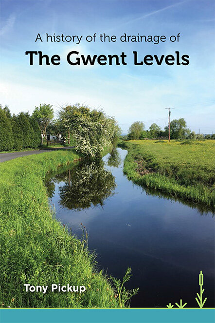
Download a PDF copy of Tony Pickup’s excellent and informative book on the history of the Gwent Levels (PDF 2.2MB).
Download a PDF copy of Prof. Stephen Rippon’s book ‘The Gwent Levels: Evolution of a wetland landscape’ from the Archaeology Data Service website.
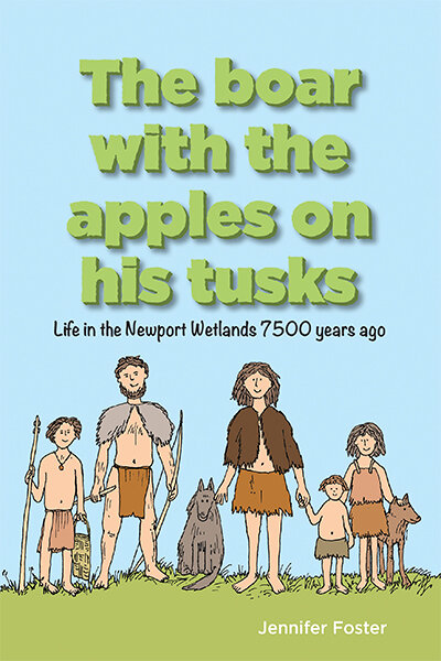
Written and illustrated by Dr Jennifer Foster, this book follows a family of prehistoric hunter-gathers as they return to their summer camp on Goldcliff Island and their subsequent adventures.
Pick up a copy of ‘The boar with the apple on his tusks’ from the Newport Wetlands Visitor Centre, priced £8.00.
Click below to hear Jennifer reading an extract from the book >