Distance: 5 km | Time: 1.5 hours | Moderate Walk
An exhilarating walk with some steep inclines and declines requiring sturdy footwear but there are fine views along the way.
OS Map: Explorer 152 - BUY
Details
Route Description
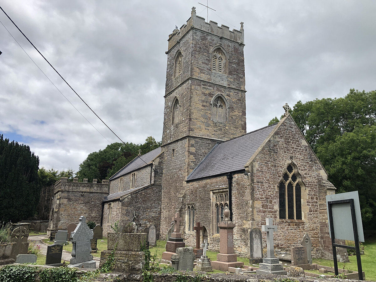
Start at St Cadwaladr's Church, Bishton. (Grid Ref: ST 387873)
- From the Church porch, turn right and walk around the tower. Cross a stile into a field and head towards the road. Climb over a stile and turn right along Bishton Road for 50m.
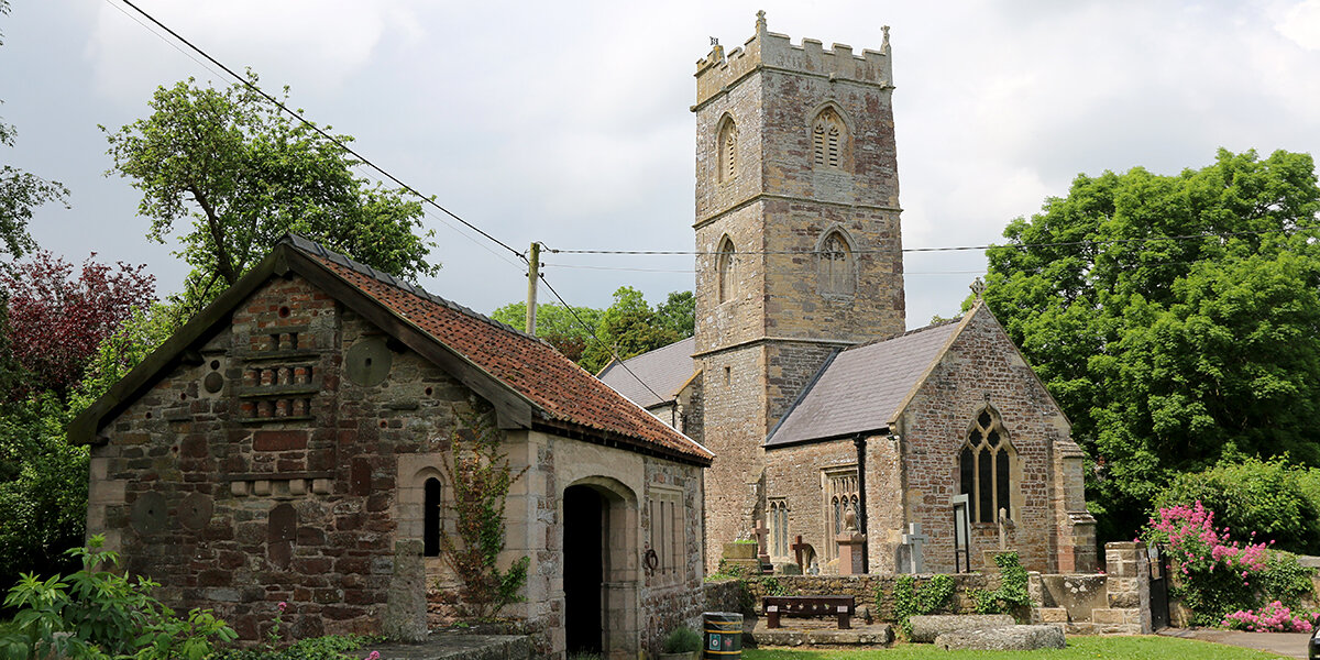
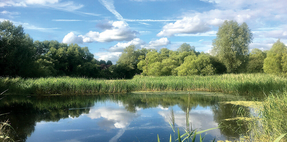
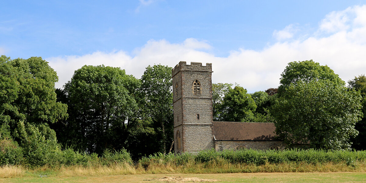
- Bear left at a fingerpost, over a stile and through a field gate. Cross the field keeping close to the hedge on your left. Cross a footbridge and stile into the next field and continue with the hedge and railway on your left until approximately halfway to the next line of trees, then bear right towards a footbridge over a reen. Cross into the next field with a tree-lined ditch on your right, over another stile and continue following the ditch. Cross a stile and follow the hedge towards St Mary’s church, over a stile and into the churchyard.
- Exit the churchyard through the main gate and turn left along Bishton Road towards Llanwern. After 150m, at first house, turn right, over a stile and follow the track north through a field. Go through a kissing gate and, after 25m, turn right along a track and up towards Llanwern Park.
- At a fork, bear left along a track. Cross a stile and immediately turn right over another stile. Head towards Llanwern Park wood with the field boundary on your right. In the corner of the field cross another stile into a wood. Follow the winding trail through the wood until you reach another stile.
- Cross into a field, keeping a row of tall trees on your left, towards Longditch Wood. Just before the wood, bear left towards a stile. Follow the path through a field towards another stile on the opposite side. Cross the stile and follow the path around the edge of the wood. Go through an old hedge-line and head downhill towards the corner of the wood on the opposite hill.
- Cross a stile and footbridge and follow the track uphill along the edge of the wood. At the top of the hill, cross another stile and head straight across the field to a gate on the other side. Go through the gate and follow the path downhill towards Bishton. Pause at the top of the hill to admire the views.
- At the bottom of the hill turn right (do not cross the stile) and follow the hedge towards another stile. Follow left edge of field towards another stile. Cross the stile and bear left down the lane, back towards the church.
Walk Highlights
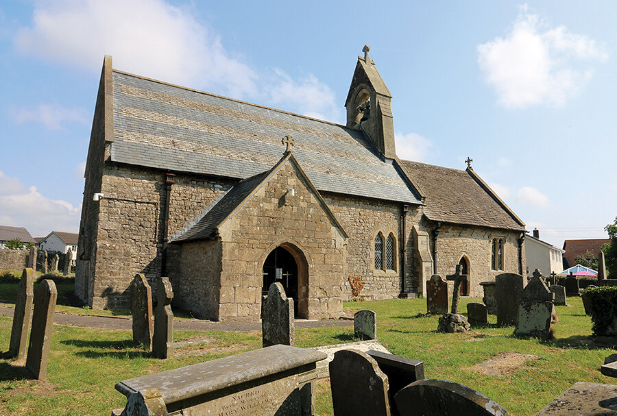
Church of St Cadwaladr, Bishton
The church at Bishton largely dates from the 14th - 15th Centuries, although there has been a church on this site for a least 1000 years. It is named for the Welsh King Cadwaladr (reigned 655 - 682 CE), who was a supporter of the early Christian church.
Great Western Railway
The railway line was designed and built by the celebrated engineer Isambard Kingdom Brunel during the 1850s and was known as the South Wales Railway. In 1863 it became part of the Great Western Railway, linking London Paddington to Neyland in Pembrokeshire. It was originally constructed as a broad-gauge railway but was converted to standard gauge after 1873.
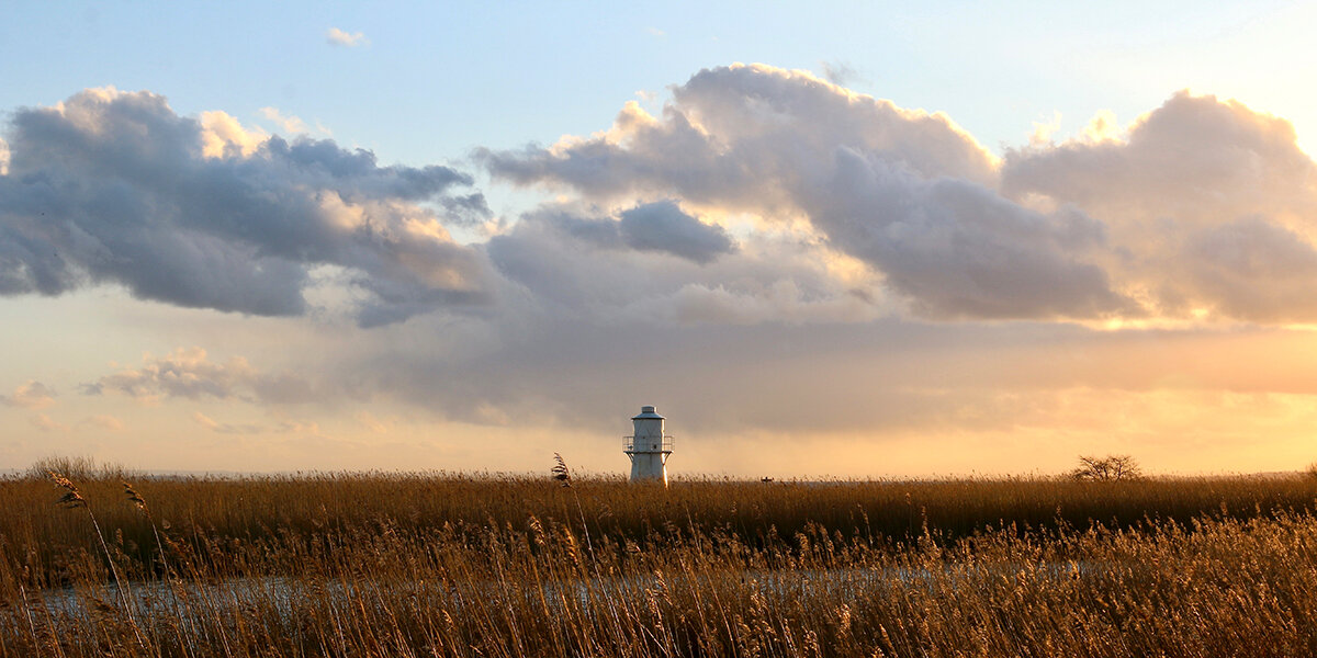
View from Llanwern Hill
From the top of Llanwern Hill there are great views south across the Gwent Levels towards the Severn Estuary. To the east you can see the wooded top of Wilcrick Hill, site of an Iron Age hillfort, and, on a clear day, the twin towers of the Severn Road Bridge near Chepstow.
Wildlife
During the Summer months, look out for common meadow butterflies along hedgerows, such as Gatekeepers, Meadow Browns, Ringlets and Common Blues. On Llanwern Hill look out for Marbled Whites, an attractive black and white butterfly, on the wing from June to September. It feeds on thistles and knapweeds. At all times of year, look out for Buzzards circling overhead.
Parking
There is limited parking next to Bishton Church
Dog policy
Dogs are allowed but must be kept under control at all times.
Facilities
The Milton Hotel, Llanwern, a short walk off the route.
Accessibility
Several stiles and narrow footbridges to cross.
Some steep inclines and declines requiring sturdy footwear.
Fields can be very muddy throughout winter.
Downloads
▶ Download walking route leaflet (PDF 2.7MB)
Always follow the Countryside Code.
- Consider the local community and other people enjoying the outdoors
- Park carefully so gateways and driveways are clear
- Leave gates and property as you find them
- Follow paths but give way to others where it’s narrow
- Leave no trace of your visit, take all your litter home
- Don’t have BBQs or fires
- Keep your dog under effective control and pick up after your pet – dog mess can harm livestock
- Plan ahead, check what facilities are open, be prepared
- Follow advice and local signs
Navigating routes using GPX files
Many smartphones and tablets are GPS-enabled. Using a navigational app, such as the OSMaps or ViewRanger apps, you can use a GPX files to follow a route.
- Install your chosen navigational app before setting out on your walk.
- Download the GPX file from the route page.
- Import the file into your app. How this is done depends on the app you are using.
Please be aware that using your phone's GPS can drain the battery. It is recommended that you carry a paper map as a backup.