In 1828, the Commissioners of Sewers ordered a survey of the Gwent Levels, recording field boundaries, drainage ditches and sea defences.
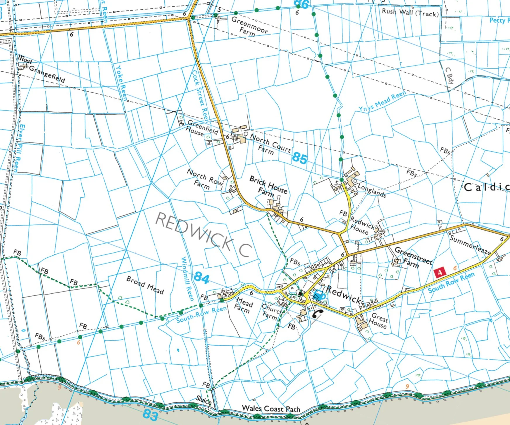
Part of the Commissioner of Sewers map showing Redwick
Two books of maps were produced, one for the Caldicot Levels and one for the Wentlooge Levels. The works cost almost £400, equivalent to around £27,000 in 2018.
These beautiful maps are now stored in the Gwent Archives. When overlain on modern OS maps or aerial photographs the old maps match almost perfectly, a testament to the skills of the original surveyors.
Commissioner’s of Sewers map (1830) overlain on modern OS map

The 1830’s Court of Sewers maps for the Gwent Levels are a fascinating and beautiful collection. Mike Rees, one of our dedicated band of history RATS, brings us the story of the man commissioned to produce these wonderful documents.
The man behind the maps
Thomas Morris was born about 1790 at Newland, Gloucestershire. He later settled at Stow Hill, Newport, and worked as a civil engineer, land surveyor and land agent. One of his great contributions to the history of the Gwent Levels lies in a series of maps and books of reference commissioned by the Court of Sewers, now online at livinglevelsgis.org.uk
These were created because it was necessary to know who was responsible for maintaining every section of sea wall, ditch and reen, and also the sluices and weirs. The maps and books provide details of every parcel of land on the low-lying Caldicot and Wentlooge Levels. The Court of Sewers minute book (1824–1838), censuses, trade directories and newspaper archives help to tell Morris's story.
At a Court of Sewers held on 3rd January 1828, Morris (then in his late thirties) was directed to proceed in his survey of the Levels. He completed the Caldicot Level in 1830 and the Wentlooge Level the following year, receiving payments totalling £395. Subsequently, he was allowed to charge for copies of the Levels maps at the rate of four pence per acre for every acre not exceeding one hundred, and three pence per acre thereafter.
The maps were not only used by the Court of Sewers and its surveyors, but also by Newport Borough Council and in connection with the railways. Morris also produced tithe maps and apportionments (the written details for each parcel of land), with thirty seven of those for Monmouthshire attributed to him. These are available online at places.library.wales.
On 4th November 1839, nearly 10,000 Chartist sympathisers marched down Stow Hill past Morris's house and into Newport. Thomas Morris was called as a witness at the trial of their leader, John Frost, the following year. The Gloucestershire Chronicle reported how a plan of the borough of Newport produced by Morris was used to demonstrate the approach routes of the demonstrators.
On 14 August 1863, the Cardiff & Merthyr Guardian reported Morris’s death: 'Aug. 6, at his residence, Stow Hill, Newport, aged 73 years Thomas Morris, Esq, CE. Deceased was an old and much respected inhabitant of that town, and for many years was one of the corporation, and held the office of alderman of the Borough.'
You can discover Thomas’s maps from the comfort of your own home by visiting livinglevelsgis.org.uk.
Mike Rees


![Wesleyan Methodist chapel Castleton (Penny Gregson)[2].jpg](https://images.squarespace-cdn.com/content/v1/5a1d5fb38a02c70db7c34f81/fe4960cd-db68-469d-8411-f5e21327e383/Wesleyan+Methodist+chapel+Castleton+%28Penny+Gregson%29%5B2%5D.jpg)


