Many of the place names on the Levels are related to the areas long history of farming.
Dr Mark Lewis, Curator, Caerleon Roman Legion Museum
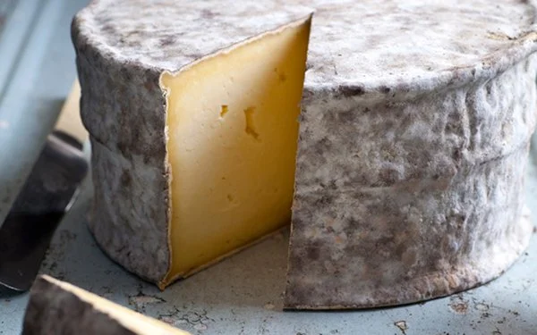
From pre-Roman times, the Gwent Levels have been mainly used as pasture or rough grazing for cattle. Cattle are important not just for beef and leather, but for dairy products such as milk, cream and cheese. These were always probably the most important economic products from the Gwent Levels themselves.
A Roman ox head escutcheon (a bucket handle loop) found by archaeologists at Caerleon.
© Amgueddfa Cymru - Museum Wales
The study of Iron Age and Roman artefacts suggests that cattle were hugely important in Iron Age and Roman society. It is quite possible that wealth during the Iron Age and much of the Roman period was measured primarily by the number of cattle owned. Many Iron Age and early Roman vessels were decorated with representations of cattle. These may indicate the use of the vessels for dairy products or recipes utilising them, but they more probably represent status, probably linked with wealth. The balls on the ends of some of the cattle horns represent balls placed on the horns of cattle to prevent them harming people or other animals.
In Medieval times land use seems to have remained unaltered. South-eastern Monmouthshire (including the Caldicot Level) was included in the Domesday Survey (of Gloucestershire). It records ‘hardwicks’ in this area, e.g., at Portskewett. Hardwick comes from ‘herd’ and ‘farm’ (wick), so a ‘hardwick’ is a ‘herd-farm’. An area of Chepstow is still called Hardwick Hill today.
Some farms, fields and features retain the name Summerleaze (Redwick), Summerway Reen (Caldicot), or Somerton (Newport). These placenames indicate ancient, seasonal, summer, cattle grazing areas. Ynys Mead (Redwick) also indicates summer pasture for grazing (and possibly land surrounded by water, like an island). Redwick means ‘the dairy farm in the reeds’ or, possibly, the ‘red dairy farm’.
The Wentlooge level preserves equivalent Welsh language early medieval place names denoting summer grazing and dairying. Farms called Maerdy can have regional Royal associations and examples may be seen in Rhymney and Coedkernew. A ‘Maerdy’ was summer grazing pasture and dairy land.
Landlocked St Mellons has a Hendre, or Hendref, (sometimes anglicized phonetically to Hendra) expectedly near to the edge of the fen, where the land rises. The Hendre was a core settlement, often with more arable land, from which there would be access to summer pasture lands for the animals.






![Wesleyan Methodist chapel Castleton (Penny Gregson)[2].jpg](https://images.squarespace-cdn.com/content/v1/5a1d5fb38a02c70db7c34f81/fe4960cd-db68-469d-8411-f5e21327e383/Wesleyan+Methodist+chapel+Castleton+%28Penny+Gregson%29%5B2%5D.jpg)