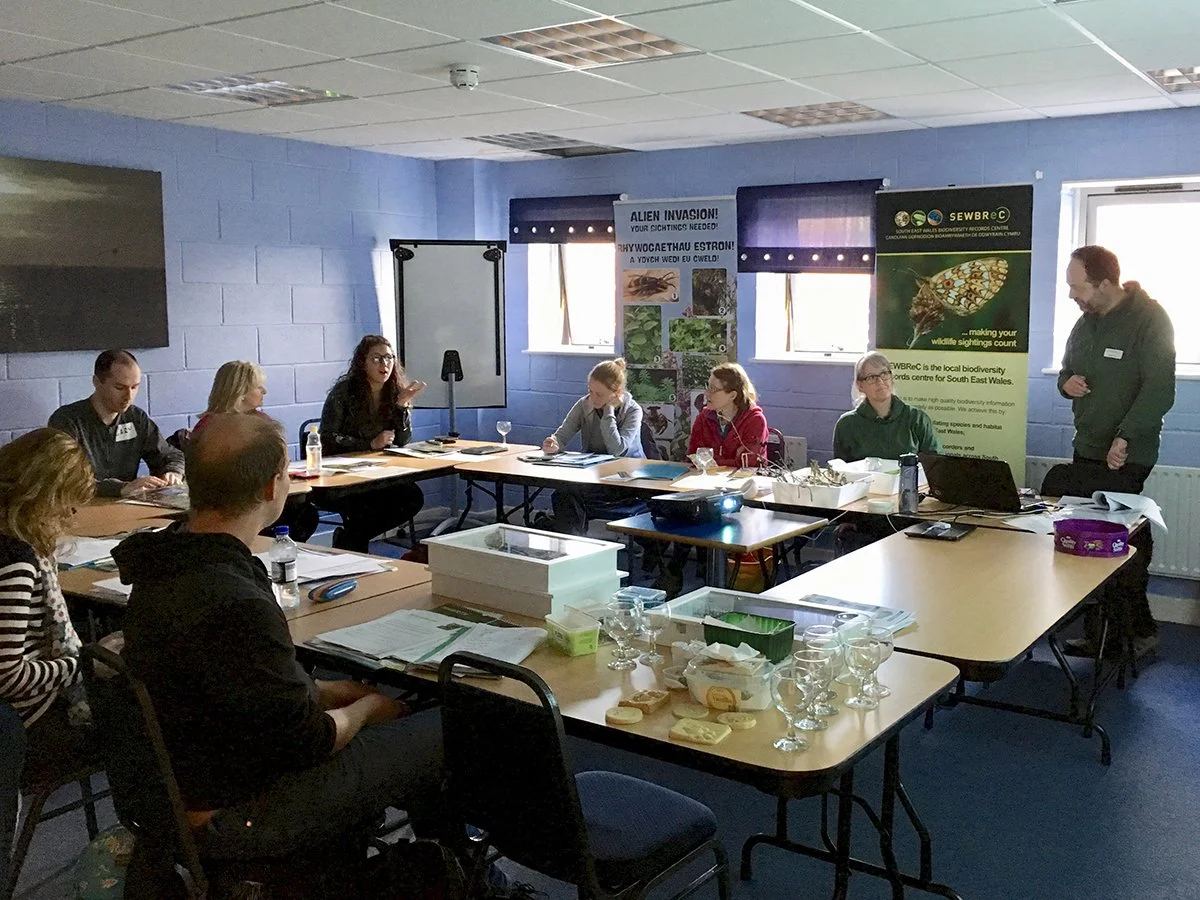
Using GIS mapping to create a detailed picture of the state of the Levels through commissioned surveys, citizen science, and the creation of a GIS master map.
Mapping the Levels
Project lead
Natural Heritage Officer
Project timeline
August 2026 - August 2031
Project reference
B2
Contact
Natural Heritage Officer


