Visitors to the sea wall at Goldcliff can take part in a global initiative to help monitor the effects of climate change on our coastlines.
CoastSnap is a global citizen science project that aims to capture our changing coastlines. It relies on repeat photos at the same location to track how the coast is changing over time due to processes such as storms, rising sea levels, human activities and other factors.
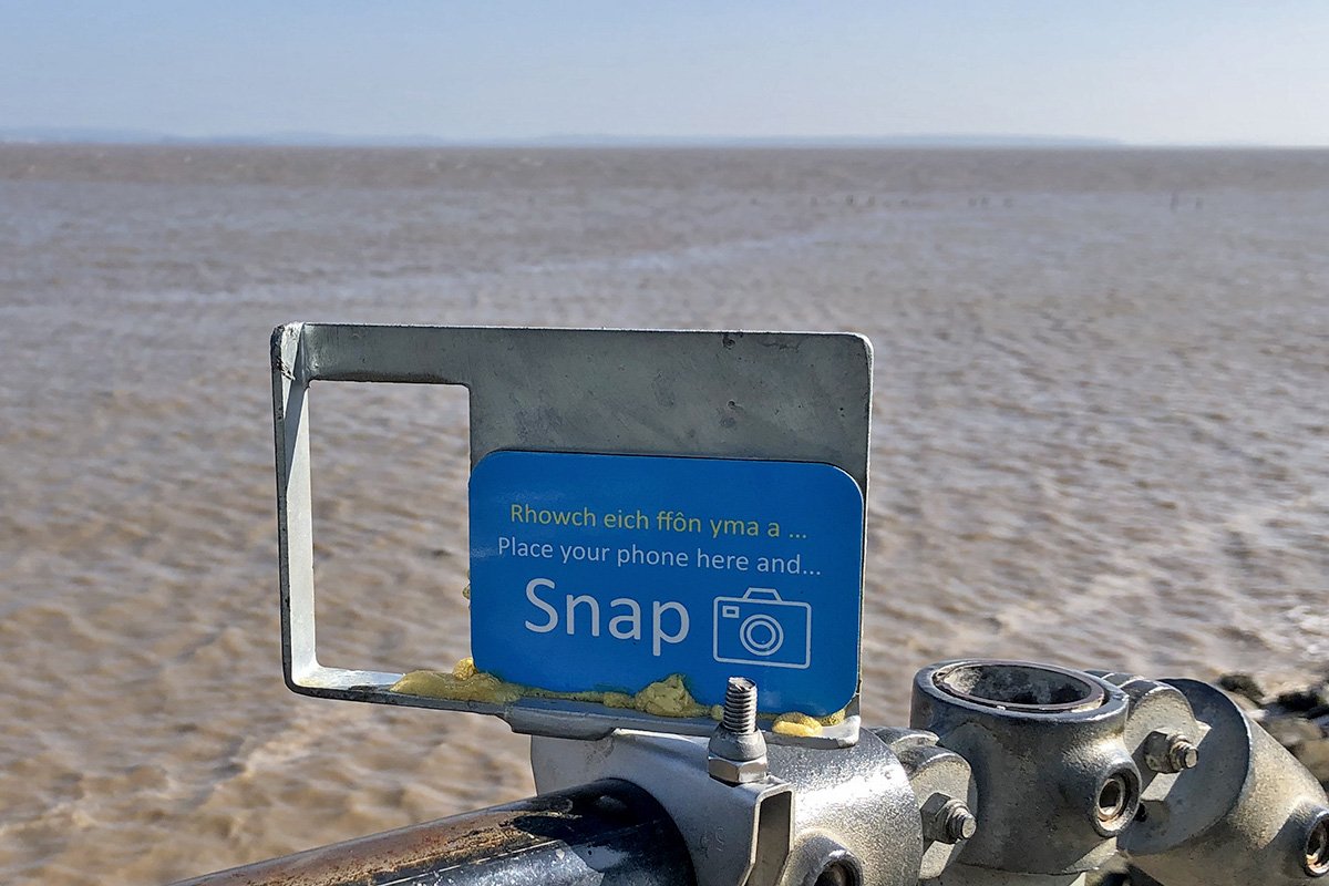
Situated at the top of the stairway leading up the sea wall at Goldcliff is a small cradle. By placing your phone in the cradle and taking a photograph of a fixed point, you can help chart the impact of climate change on this stretch of Wales’ coastline. There are also CoastSnap stations along the sea wall at Lamby Way (Cardiff) and Black Rock.
Using a specialised technique known as photogrammetry, CoastSnap turns your photos into valuable data that is used by coastal scientists to understand and forecast how coastlines might change in the coming decades. Photogrammetry enables the position of the coastline to be pinpointed from your snaps to an accuracy similar to that of professional coastal survey teams.
Photos taken at CoastSnap stations can be uploaded through the Wales Coastal Monitoring Centre website.