The Landscape

They always say the best way to see the Gwent Levels is with a microscope or a helicopter. You’ve either got to get right in and go, look, this is amazing down here, or you’ve got to get up high and see this vast, extraordinary landscape from above.
The Gwent Levels: A Unique Landscape
The Gwent Levels is a remarkable historic landscape between Chepstow and Cardiff. Covering an area of 200km2 (20,000 hectares), the area includes salt marshes, mudflats, and grazing fields. An intricate network of man-made ditches (‘reens’) support a wealth of wildlife.
The Gwent Levels are a nationally important landscape and unique in Wales, a product of centuries of human interaction with the natural world. Since Roman times, the land has been reclaimed from the sea through the creation of a series of embankments, sea walls, and drainage ditches.
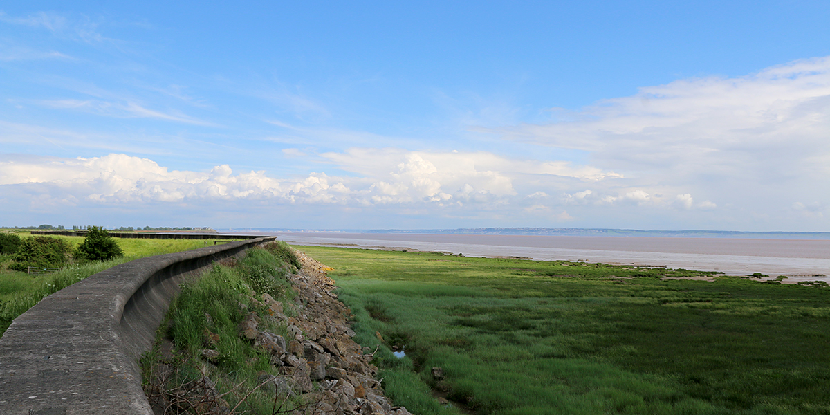
Much of the Levels lies at or below high tide. Without the sea wall, the incoming water would submerge the land twice a day.

Key Features of the Gwent Levels Landscape
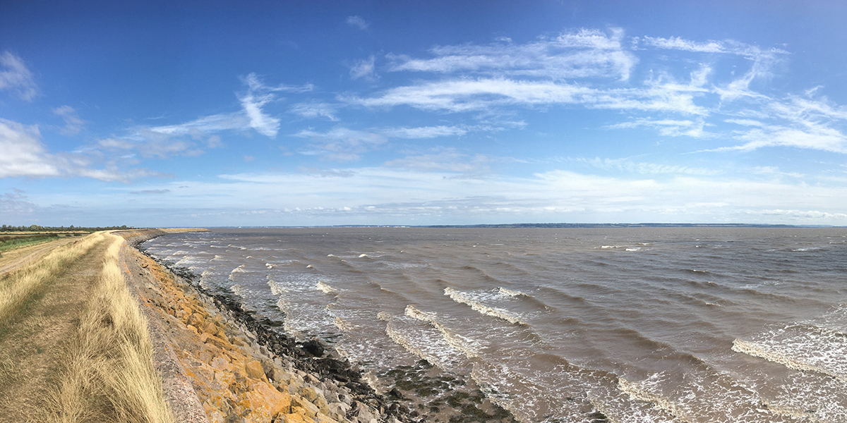
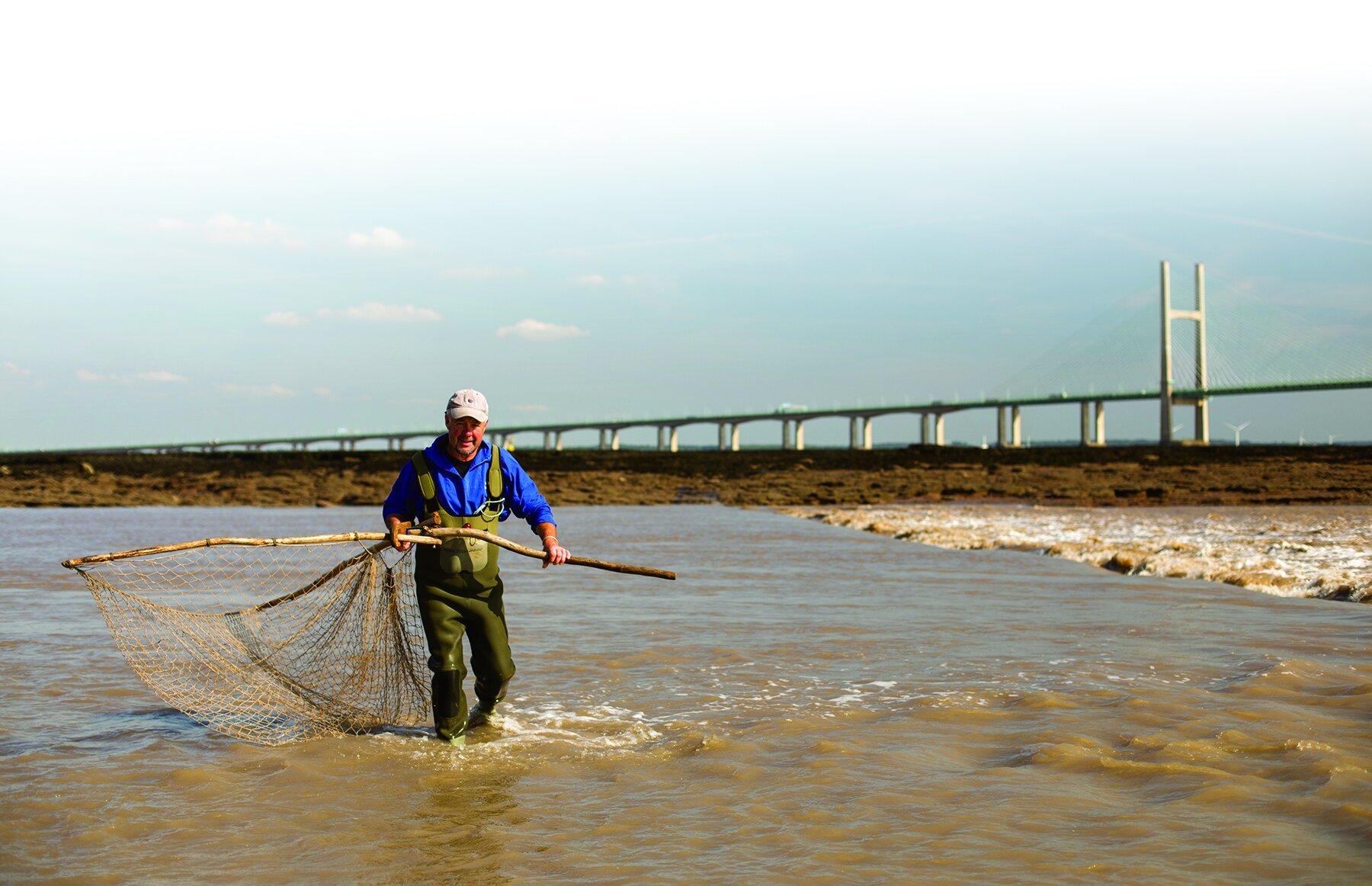
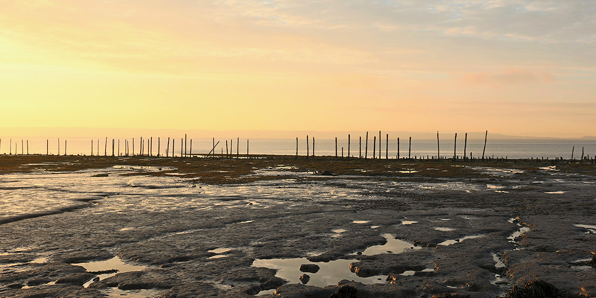
Intertidal Zone: The retreating tide uncovers a vast area of salt marsh and mudflats. This dynamic environment is a haven for wildlife, including rare and endangered species.
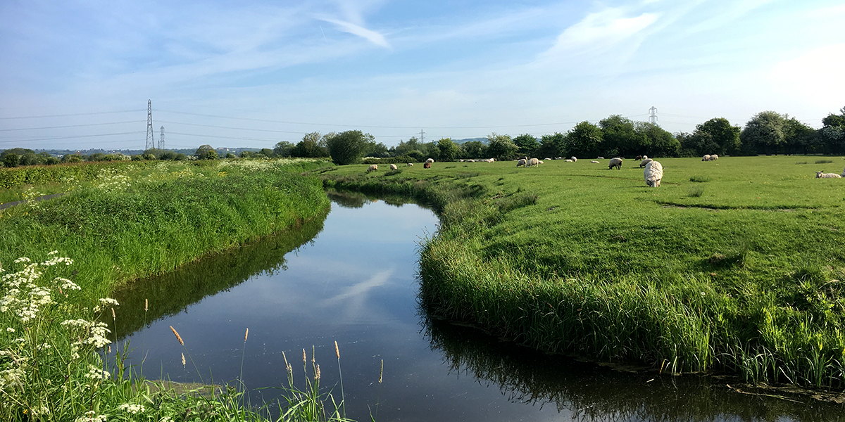
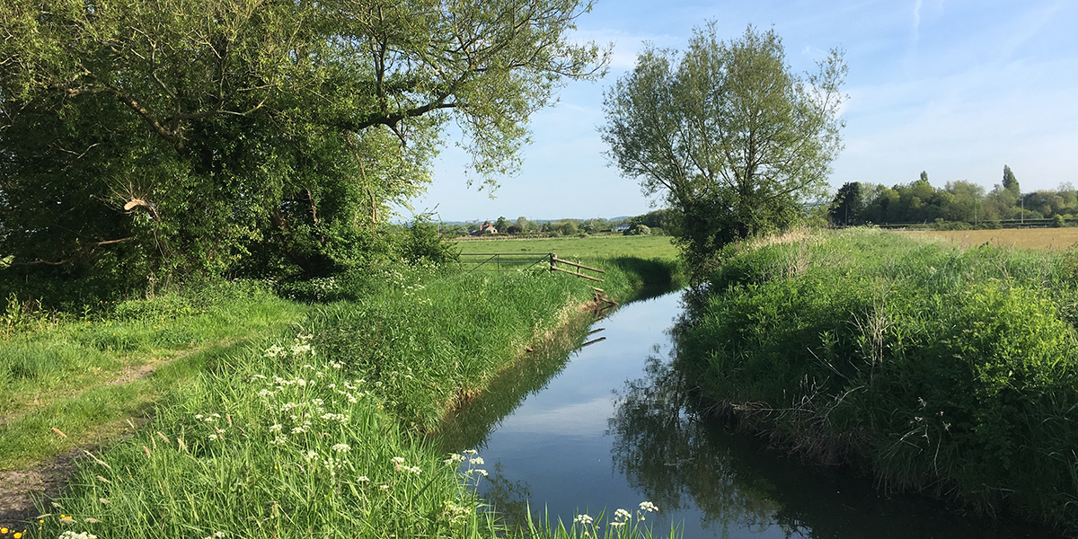
Reens (ditches): The Gwent Levels are criss-crossed by a network of over 800 miles of reens. These man-made ditches serve multiple purposes; reens help drain the land, provide irrigation for agriculture, and act as valuable wildlife corridors.
Salt marshes: Salt marshes are a crucial component of the Gwent Levels ecosystem, dominated by salt-tolerant plants. They play a vital role in flood protection, sediment trapping, and water purification, and are an important carbon store.
Grazing Fields: Most of the Gwent Levels is used for grazing livestock. The fertile pastures, enriched by the underlying alluvial soils, support a thriving farming community.
Sea Wall: The Severn Estuary has one of the highest tidal ranges in the world. The Levels is protected from the incoming tide by a 35km long sea wall that dates from the late medieval period. Without it, the Levels as we know it could not exist.
Ecological Significance
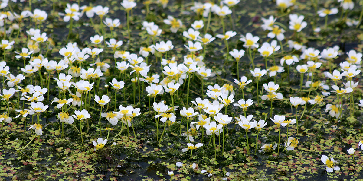
The Gwent Levels are a haven for wildlife. The reens and ditches support a huge range of aquatic invertebrates, and over 300 species of birds have been recorded in the area.
The intertidal zone is an important feeding ground for migratory birds.
Shrill carder bee (Chris Harris)
Human Influence
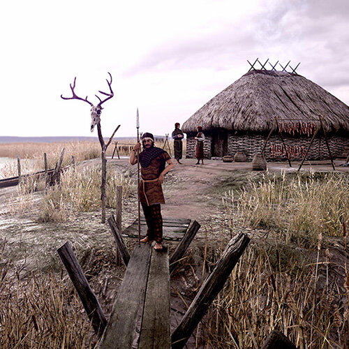
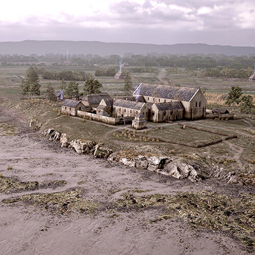
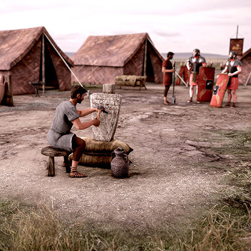
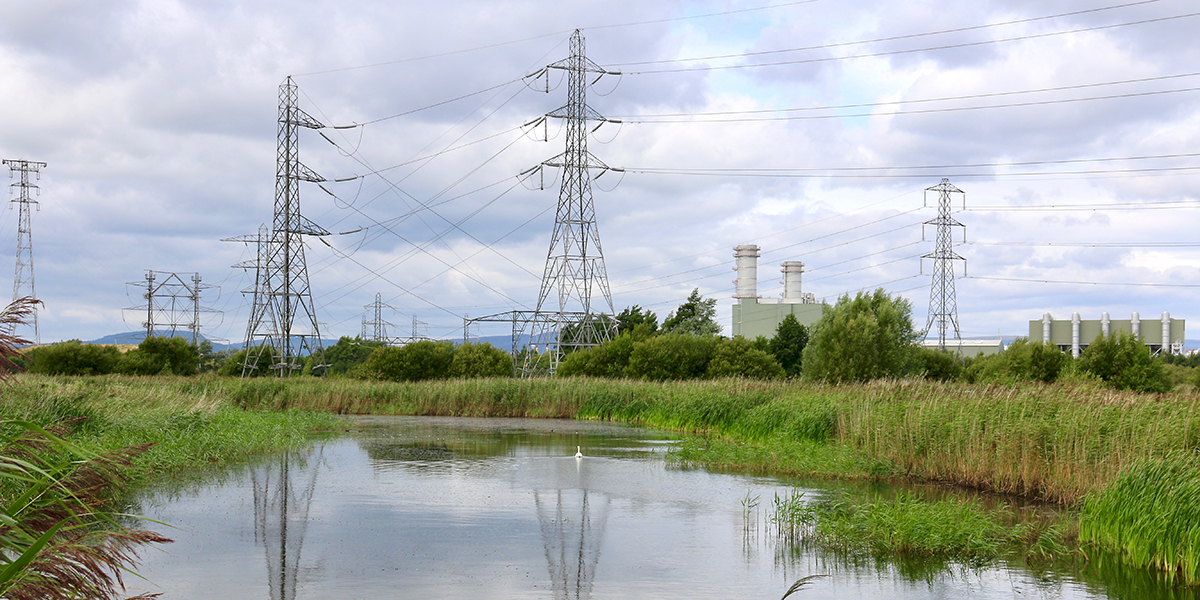
The Gwent Levels has been shaped by human activity over many centuries. The sea wall, the reens, and agriculture have all contributed to the distinctive character of this area.
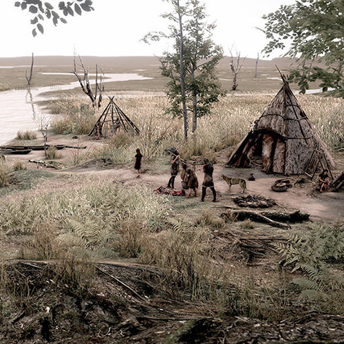
Buried beneath the surface are some of the most important archaeological sites in Wales.
Threats and Conservation
The Gwent Levels face many threats from rising sea levels, climate change, development, and agricultural practices. These threaten the delicate balance of the ecosystem.
Efforts are underway to protect this unique landscape. We are encouraging sustainable land management, restoring habitats, and raising awareness of the Gwent Levels' ecological, historical, and cultural importance.
Starling murmuration over Newport Wetlands (Chris Harris)
Visiting the Gwent Levels
The Gwent Levels offer many opportunities to explore and appreciate this unique landscape. Walking and cycling trails provide access to the countryside. Viewpoints offer panoramic vistas of the reens, salt marshes, and distant hills. Birdwatching, wildlife photography, and nature walks are popular activities. Several visitor centres provide information and interpretation services.
Whether you're an avid wildlife watcher, or simply seeking an escape from the hustle and bustle of city life, the Gwent Levels offer a captivating and memorable experience.
Gwent Levels:
In numbers
200km2 – total area, including intertidal area.
8 Sites of Special Scientific Interest covering 79km2.
1500km of reens and ditches.
14m tidal range, one of the world’s highest.
35km sea wall.
650,000 people live on or next to the Levels.